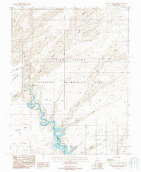
1987 Map of Stevens Canyon South
USGS Topo · Published 1987About this map
The winding course of the Escalante River dominates this landscape as it flows toward its confluence with Lake Powell in the late 1980s. This desert region, preserved within the Glen Canyon National Recreation Area, is defined by a complex network of deeply incised drainages and high vantage points. Significant geological landmarks like Stevens Natural Arch and Les George Point stand above the rugged canyon system. The map captures the intricate topography of the red rock country, where prominent features such as Coyote Gulch and Scorpion Canyon intersect with the river corridor. To the south, Fortymile Ridge separates the main river valley from secondary drainages like Explorer Canyon, documenting the area's wilderness character and river-carved hydrology before subsequent changes in reservoir levels.
Find a feature on this map
13 named features on this map. Tap any name to fly to it.
Don’t see what you’re looking for? This feature index may not catch every label — zoom into the map to look around manually.
Map Details
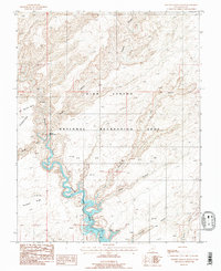
Editions of this 1987 Stevens Canyon South Map
2 editions found
Other maps of this area

1886 · Escalante
USGS Topo · 1:250,000

1886 · Henry Mountains
USGS Topo · 1:250,000

1892 · Henry Mountains
USGS Topo · 1:250,000

1953 · Mt Pennell 3 SW
USGS Topo · 1:24,000

1953 · The Rincon
USGS Topo · 1:62,500

1953 · Hall Mesa
USGS Topo · 1:62,500

1953 · Moody Creek
USGS Topo · 1:62,500

1956 · Escalante
USGS Topo · 1:250,000

1960 · Escalante
USGS Topo · 1:250,000
1968 · Sooner Bench
USGS Topo · 1:24,000