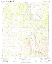
1979 Map of Stevens Mtn.
USGS Topo · Published 1979About this map
Mining activity and ranching define this high-desert landscape in the late 1970s, where the eastern foothills of the Sierrita Mountains meet a network of seasonal washes. Numerous small-scale extraction sites such as the Copper Glance Mine, Philimena Mine, and Little Johnny Mine are scattered across the slopes of Stevens Mtn and Providencia Hill. These workings, many identified simply as prospects, suggest a history of exploration for copper and precious metals throughout the mid-20th century.
Find a feature on this map
59 named features on this map. Tap any name to fly to it.
Don’t see what you’re looking for? This feature index may not catch every label — zoom into the map to look around manually.
Map Details
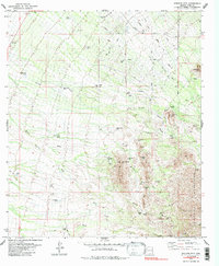
Editions of this 1979 Stevens Mtn. Map
2 editions found
Other maps of this area

1920 · Arivaca
USGS Topo · 1:125,000

1925 · Samaniego Peak
USGS Topo · 1:62,500

1925 · San Xavier
USGS Topo · 1:62,500

1934 · Tucson Mountains
USGS Topo · 1:125,000

1939 · Twin Buttes
USGS Topo · 1:62,500

1940 · Palo Alto Ranch
USGS Topo · 1:62,500

1941 · Twin Buttes
USGS Topo · 1:62,500

1941 · Cocoraque Butte
USGS Topo · 1:62,500

1943 · Cocoraque Butte
USGS Topo · 1:62,500

1943 · Palo Alto Ranch
USGS Topo · 1:62,500