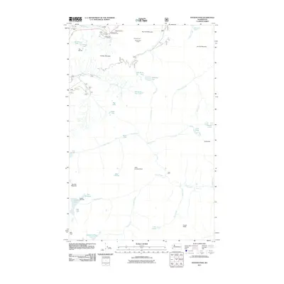
2011 Map of Stevens Pass
USGS Topo · Published 2011About this map
Cascade Tunnel and the New Cascade Tunnel serve as the central industrial anchors of this high mountain pass, marking the critical rail passage through the Cascades. Near the settlement of Tye, the landscape is defined by the intersection of transportation and recreation, with the Stevens Pass Recreation Area and the Pacific Crest Trailhead providing access to the surrounding peaks. The terrain is marked by distinctive crests like Cowboy Mountain and Big Chief Mountain, which feed a complex network of high-elevation water bodies.
Find a feature on this map
47 named features on this map. Tap any name to fly to it.
Don’t see what you’re looking for? This feature index may not catch every label — zoom into the map to look around manually.
Map Details
Editions of this 2011 Stevens Pass Map
This is the sole edition of this map. No revisions or reprints were ever made.
Other maps of this area

1901 · Chiwaukum
USGS Topo · 1:125,000

1902 · Skykomish
USGS Topo · 1:125,000

1904 · Chiwaukum
USGS Topo · 1:125,000

1905 · Skykomish
USGS Topo · 1:125,000

1957 · Wenatchee
USGS Topo · 1:250,000

1965 · Captain Point
USGS Topo · 1:24,000

1965 · Chiwaukum Mts
USGS Topo · 1:62,500

1965 · Stevens Pass
USGS Topo · 1:24,000

1965 · Mount Daniel
USGS Topo · 1:24,000

1965 · Wenatchee Lake
USGS Topo · 1:62,500