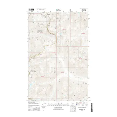
2014 Map of Stevens Pass
USGS Topo · Published 2014About this map
The Old Cascade Tunnel and its modern successor, the New Cascade Tunnel, anchor this high-elevation mountain pass where the King County and Chelan County border meets. This transit corridor, following the route of US Hwy 2 and the Stevens Pass Hwy, has long been a critical link across the Cascades. The surrounding peaks, including Cowboy Mtn and Big Chief Mtn, frame the Stevens Pass Recreation Area, a focal point for winter sports and alpine recreation.
Find a feature on this map
52 named features on this map. Tap any name to fly to it.
Don’t see what you’re looking for? This feature index may not catch every label — zoom into the map to look around manually.
Map Details
Editions of this 2014 Stevens Pass Map
This is the sole edition of this map. No revisions or reprints were ever made.
Other maps of this area

1901 · Chiwaukum
USGS Topo · 1:125,000

1902 · Skykomish
USGS Topo · 1:125,000

1904 · Chiwaukum
USGS Topo · 1:125,000

1905 · Skykomish
USGS Topo · 1:125,000

1957 · Wenatchee
USGS Topo · 1:250,000

1965 · Captain Point
USGS Topo · 1:24,000

1965 · Chiwaukum Mts
USGS Topo · 1:62,500

1965 · Stevens Pass
USGS Topo · 1:24,000

1965 · Mount Daniel
USGS Topo · 1:24,000

1965 · Wenatchee Lake
USGS Topo · 1:62,500