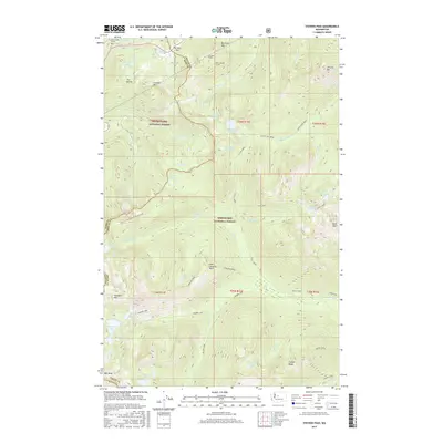
2017 Map of Stevens Pass
USGS Topo · Published 2017About this map
Stevens Pass serves as the central focal point for this survey, marking a critical crossing of the Cascade Range along the border of King and Chelan Counties. The map illustrates the sophisticated engineering required to traverse this mountain corridor, specifically highlighting the progression of rail infrastructure with the Old Cascade Tunnel, the Cascade Tunnel, and the New Cascade Tunnel. These structures represent generations of transportation history carved through the granite of the Cascades.
Find a feature on this map
63 named features on this map. Tap any name to fly to it.
Don’t see what you’re looking for? This feature index may not catch every label — zoom into the map to look around manually.
Map Details
Editions of this 2017 Stevens Pass Map
This is the sole edition of this map. No revisions or reprints were ever made.
Other maps of this area

1901 · Chiwaukum
USGS Topo · 1:125,000

1902 · Skykomish
USGS Topo · 1:125,000

1904 · Chiwaukum
USGS Topo · 1:125,000

1905 · Skykomish
USGS Topo · 1:125,000

1957 · Wenatchee
USGS Topo · 1:250,000

1965 · Captain Point
USGS Topo · 1:24,000

1965 · Chiwaukum Mts
USGS Topo · 1:62,500

1965 · Stevens Pass
USGS Topo · 1:24,000

1965 · Mount Daniel
USGS Topo · 1:24,000

1965 · Wenatchee Lake
USGS Topo · 1:62,500