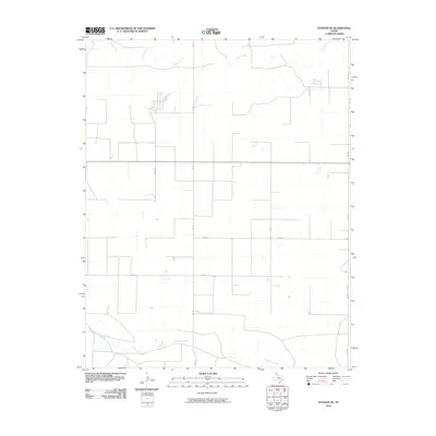
2010 Map of Stevens SE
USGS Topo · Published 2010About this map
Frisco Creek and Coldwater Creek carve through the open landscape of Sherman County, Texas, defining the drainage patterns of this High Plains region. This area is characterized by a precise grid of rural infrastructure, where major routes like Fm 119 and Fm 1290 intersect with a system of local county roads. The mapping reveals the practical geometry of land use in the Panhandle, punctuated by family-named thoroughfares such as Judges Rd and Cluck Rd. While primarily an agricultural expanse, the map shows the placement of localized features along routes like Co Rd O and Co Rd P, which served the ranching and farming operations of the early 21st century.
Find a feature on this map
10 named features on this map. Tap any name to fly to it.
Don’t see what you’re looking for? This feature index may not catch every label — zoom into the map to look around manually.
Map Details
Editions of this 2010 Stevens SE Map
This is the sole edition of this map. No revisions or reprints were ever made.
Other maps of this area

1954 · Perryton
USGS Topo · 1:250,000

1958 · Perryton
USGS Topo · 1:250,000

1964 · Stevens SW
USGS Topo · 1:24,000

1965 · Spurlock Chapel
USGS Topo · 1:24,000

1965 · Stevens
USGS Topo · 1:24,000

1974 · Sunray 1 NW
USGS Topo · 1:24,000

1974 · Texhoma South
USGS Topo · 1:24,000

1974 · Stevens SE
USGS Topo · 1:24,000

1974 · Sunray 1 SW
USGS Topo · 1:24,000

1974 · Capps Switch NW
USGS Topo · 1:24,000