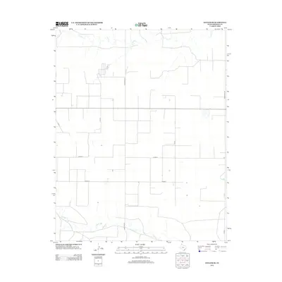
2012 Map of Stevens SE
USGS Topo · Published 2012About this map
Coldwater Cr and Frisco Cr define the hydrologic character of this Panhandle landscape in Sherman County. The terrain is structured by a rigid grid of rural transport routes, including Ranch Road 119 and Ranch Road 1299, which facilitate movement between scattered agricultural properties. The map reveals the systematic organization of the High Plains, where vast stretches of land are punctuated by seasonal watercourses and local thoroughfares like Co Road O and Co Road P. This 2012 survey captures the modern ranching infrastructure of the region, showing the placement of rural residences and outbuildings that rely on this network of county roads. For those studying land use and property boundaries in northern Texas, the alignment of Co Rd 17 and Cord 19 against the natural drainage patterns provides a clear view of how the environment has been partitioned for agriculture.
Find a feature on this map
10 named features on this map. Tap any name to fly to it.
Don’t see what you’re looking for? This feature index may not catch every label — zoom into the map to look around manually.
Map Details
Editions of this 2012 Stevens SE Map
This is the sole edition of this map. No revisions or reprints were ever made.
Other maps of this area

1954 · Perryton
USGS Topo · 1:250,000

1958 · Perryton
USGS Topo · 1:250,000

1964 · Stevens SW
USGS Topo · 1:24,000

1965 · Spurlock Chapel
USGS Topo · 1:24,000

1965 · Stevens
USGS Topo · 1:24,000

1974 · Sunray 1 NW
USGS Topo · 1:24,000

1974 · Texhoma South
USGS Topo · 1:24,000

1974 · Stevens SE
USGS Topo · 1:24,000

1974 · Sunray 1 SW
USGS Topo · 1:24,000

1974 · Capps Switch NW
USGS Topo · 1:24,000