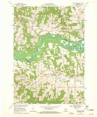
1969 Map of Stevenstown
USGS Topo · Published 1971About this map
The Black River meanders through the heart of this landscape, marking the boundary between Trempealeau and La Crosse counties. Along the northern reaches, Hardies Creek State Forest preserves the timbered slopes above Hardies Creek. This area is defined by its deep coulees, with family-named drainages like Ponstad Coulee, Moe Coulee, and Gavin Coulee cutting through the terrain. These geographical features dictated the placement of early infrastructure, including Stevenstown and the network of cemeteries like Glasgow and Sacia Cem that served the dispersed farming communities in the Farmington and Holland townships.
Find a feature on this map
42 named features on this map. Tap any name to fly to it.
Don’t see what you’re looking for? This feature index may not catch every label — zoom into the map to look around manually.
Map Details
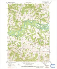
Editions of this 1969 Stevenstown Map
2 editions found
Other maps of this area

1926 · North Bend
USGS Topo · 1:62,500

1927 · La Crosse
USGS Topo · 1:62,500

1929 · Galesville
USGS Topo · 1:62,500

1929 · North Bend
USGS Topo · 1:62,500

1930 · La Crescent
USGS Topo · 1:62,500

1930 · La Crosse
USGS Topo · 1:62,500

1953 · Eau Claire
USGS Topo · 1:250,000

1956 · La Crescent
USGS Topo · 1:62,500

1958 · Eau Claire
USGS Topo · 1:250,000

1958 · La Crosse
USGS Topo · 1:250,000