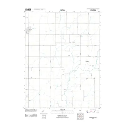
2012 Map of Stewardson East
USGS Topo · Published 2012About this map
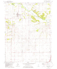
Strasburg anchors the northwestern corner of this Illinois landscape, where the street grid of the village gives way to a network of rural county roads and agricultural land. The terrain is defined by the drainage systems of the W Br Little Wabash River and its numerous tributaries, including Bills Cr and Brush Cr. These waterways create natural divisions between the small communities of South Strasburg, Kingman, and Trowbridge.
Find a feature on this map
55 named features on this map. Tap any name to fly to it.
Don’t see what you’re looking for? This feature index may not catch every label — zoom into the map to look around manually.
Map Details
Editions of this 2012 Stewardson East Map
This is the sole edition of this map. No revisions or reprints were ever made.
Other maps of this area
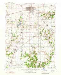
1934 · Mattoon
USGS Topo · 1:62,500
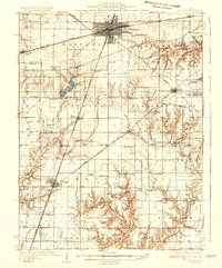
1937 · Mattoon
USGS Topo · 1:62,500
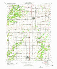
1947 · Stewardson
USGS Topo · 1:62,500
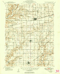
1949 · Stewardson
USGS Topo · 1:62,500
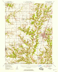
1950 · Effingham
USGS Topo · 1:62,500
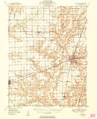
1951 · Effingham
USGS Topo · 1:62,500
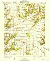
1953 · Teutopolis
USGS Topo · 1:62,500

1958 · Decatur
USGS Topo · 1:250,000

1961 · Decatur
USGS Topo · 1:250,000
1980 · Middlesworth
USGS Topo · 1:24,000