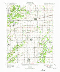
1947 Map of Stewardson
USGS Topo · Published 1965About this map
The Kaskaskia River winds through the northwest corner of this Shelby County landscape, providing a stark contrast to the surveyed grid of the prairie lands to the east. By the mid-20th century, the region was defined by a dense network of country schools and rural churches that anchored small farming communities. Educational sites like the Mahoney Sch and East Salem School are shown alongside spiritual centers such as Jordan Chapel and Wesley Chapel.
Find a feature on this map
79 named features on this map. Tap any name to fly to it.
Don’t see what you’re looking for? This feature index may not catch every label — zoom into the map to look around manually.
Map Details
Editions of this 1947 Stewardson Map
This is the sole edition of this map. No revisions or reprints were ever made.
Other maps of this area
1934 · Mattoon
USGS Topo · 1:62,500
1935 · Arcola
USGS Topo · 1:48,000
1935 · Sullivan
USGS Topo · 1:48,000
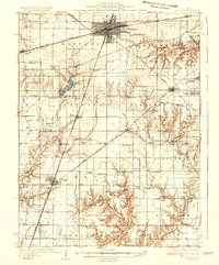
1937 · Mattoon
USGS Topo · 1:62,500
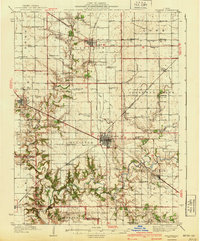
1940 · Sullivan
USGS Topo · 1:62,500
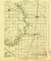
1940 · Arcola
USGS Topo · 1:62,500
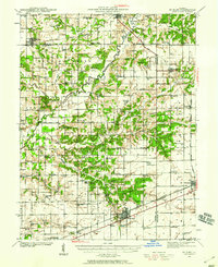
1941 · St. Elmo
USGS Topo · 1:62,500
1942 · Shelbyville
USGS Topo · 1:62,500
1945 · St. Elmo
USGS Topo · 1:62,500
1946 · Shelbyville
USGS Topo · 1:62,500