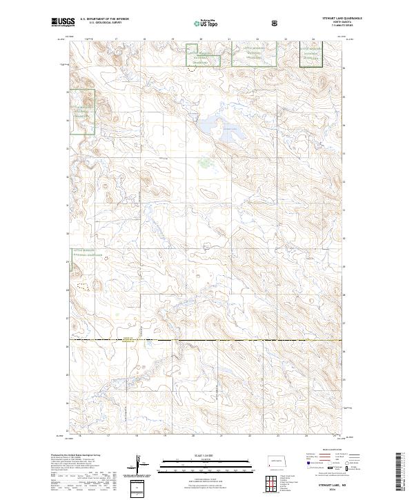
2024 Map of Stewart Lake
USGS Topo · Published 2024About this map
Stewart Lake National Wildlife Refuge anchors the high plains of Slope County, preserving a critical prairie wetland around Stewart Lake. This landscape is defined by the stark divide between protected federal lands and the sectional grid of the American West. Portions of the Little Missouri National Grassland border the refuge, illustrating the dual conservation and grazing heritage of the North Dakota badlands region. The drainage of East Fork Deep Creek cuts through the undulating terrain, eventually crossing the southern boundary into Bowman County. Transportation through this sparsely populated territory relies on a rectilinear grid of local roads, including the notable Farm To Market Rd, 74th St SW, and 149th Ave SW. This survey provides a precise view of the modern boundaries and water features that shape the ranching and wildlife management of the area.
Find a feature on this map
14 named features on this map. Tap any name to fly to it.
Don’t see what you’re looking for? This feature index may not catch every label — zoom into the map to look around manually.
Map Details
Editions of this 2024 Stewart Lake Map
This is the sole edition of this map. No revisions or reprints were ever made.
Other maps of this area

1953 · Dickinson
USGS Topo · 1:250,000

1957 · Dickinson
USGS Topo · 1:250,000

1968 · Bowman
USGS Topo · 1:24,000

1973 · Black Butte
USGS Topo · 1:24,000

1973 · Talbot Butte
USGS Topo · 1:24,000

1973 · Amidon SE
USGS Topo · 1:24,000

1973 · Stewart Lake
USGS Topo · 1:24,000

1973 · Amidon
USGS Topo · 1:24,000

1973 · Griffin
USGS Topo · 1:24,000

1981 · Bowman
USGS Topo · 1:100,000