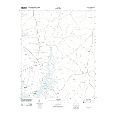
2011 Map of Stewart
USGS Topo · Published 2011About this map
Jackson Lake dominates the southern landscape of this Georgia quadrangle, where residential developments like Turtles Cove, Alcovy Shores, and Lakeside Grove line the irregular shoreline. The Alcovy River and Rocky Creek feed this reservoir, passing through terrain marked by natural features such as Factory Shoals and White Shoals. To the north, the geography shifts from lakefront properties to a rural network of family-named cemeteries and crossroads, including Heard Cemetery, Pickett Cemetery, and Hardys Crossroads.
Find a feature on this map
107 named features on this map. Tap any name to fly to it.
Don’t see what you’re looking for? This feature index may not catch every label — zoom into the map to look around manually.
Map Details
Editions of this 2011 Stewart Map
This is the sole edition of this map. No revisions or reprints were ever made.
Other maps of this area

1896 · Monroe
USGS Topo · 1:125,000

1953 · Athens
USGS Topo · 1:250,000

1958 · Athens
USGS Topo · 1:250,000

1959 · Athens
USGS Topo · 1:250,000

1963 · Athens
USGS Topo · 1:250,000

1964 · Lloyd Shoals Dam
USGS Topo · 1:24,000
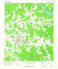
1964 · Jackson
USGS Topo · 1:24,000

1964 · Stewart
USGS Topo · 1:24,000

1964 · Worthville
USGS Topo · 1:24,000

1964 · Porterdale
USGS Topo · 1:24,000