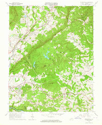
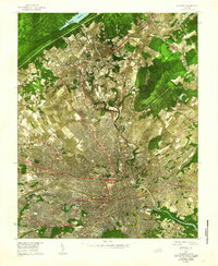
1963 Map of Stewartsville
USGS Topo · Published 1964About this map
The Blue Ridge Parkway winds through the high gaps and overlooks of the Blue Ridge mountains in this mid-century portrait of the border between Botetourt, Bedford, and Roanoke counties. The landscape is defined by the sharp transition from the wooded slopes of Coyner Mountain and Porter Mtn to the industrial and residential pockets near Bonsack and Blue Ridge. This era shows the local infrastructure supporting growing communities, including the Filtration Plant at Falling Creek Reservoir and the Beaverdam Res.
Find a feature on this map
70 named features on this map. Tap any name to fly to it.
Don’t see what you’re looking for? This feature index may not catch every label — zoom into the map to look around manually.
Map Details
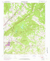
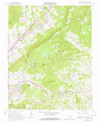
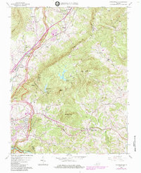
Editions of this 1963 Stewartsville Map
4 editions found
Other maps of this area

1890 · Roanoke
USGS Topo · 1:125,000

1891 · Roanoke
USGS Topo · 1:125,000

1929 · Roanoke
USGS Topo · 1:48,000

1933 · Roanoke
USGS Topo · 1:62,500

1947 · Roanoke
USGS Topo · 1:250,000

1950 · Peaks of Otter
USGS Topo · 1:62,500

1951 · Boones Mill
USGS Topo · 1:62,500

1951 · Moneta
USGS Topo · 1:62,500

1959 · Roanoke
USGS Topo · 1:250,000
1962 · Roanoke
USGS Topo · 1:24,000