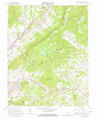
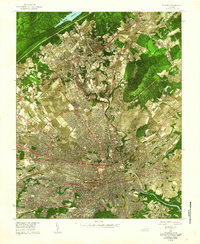
1963 Map of Stewartsville
USGS Topo · Published 1978About this map
Stewartsville sits at the intersection of rural community life and rugged topography along the eastern slopes of the Blue Ridge. This mid-century survey illustrates a landscape defined by small valley settlements and dispersed mountain landmarks, such as Horsepen Mtn and Greens Knob. The infrastructure of the era is evident in the Falling Creek Reservoir and its associated Filtration Plant, while the northern reaches show the expansion of the Jefferson National Forest.
Find a feature on this map
74 named features on this map. Tap any name to fly to it.
Don’t see what you’re looking for? This feature index may not catch every label — zoom into the map to look around manually.
Map Details
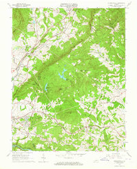
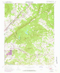
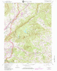
Editions of this 1963 Stewartsville Map
4 editions found
Other maps of this area

1890 · Roanoke
USGS Topo · 1:125,000

1891 · Roanoke
USGS Topo · 1:125,000

1929 · Roanoke
USGS Topo · 1:48,000

1933 · Roanoke
USGS Topo · 1:62,500

1947 · Roanoke
USGS Topo · 1:250,000

1950 · Peaks of Otter
USGS Topo · 1:62,500

1951 · Boones Mill
USGS Topo · 1:62,500

1951 · Moneta
USGS Topo · 1:62,500

1959 · Roanoke
USGS Topo · 1:250,000
1962 · Roanoke
USGS Topo · 1:24,000