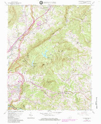
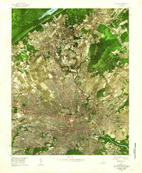
1963 Map of Stewartsville
USGS Topo · Published 1984About this map
Stewartsville and the surrounding ridgelines of the Blue Ridge define this landscape, where the rural character of Bedford and Botetourt counties met mid-century infrastructure. The southern edge is anchored by the Roanoke River and the Niagara Powerplant, while the north features the industrial presence of the Norfolk and Western railroad corridor. Significant water management is evident at Falling Creek Reservoir and its associated Filtration Plant, serving the growing populations near Bonsack and Webster.
Find a feature on this map
71 named features on this map. Tap any name to fly to it.
Don’t see what you’re looking for? This feature index may not catch every label — zoom into the map to look around manually.
Map Details
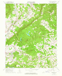
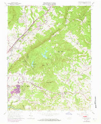
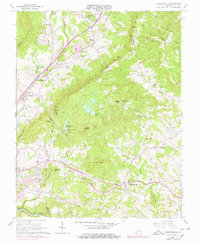
Editions of this 1963 Stewartsville Map
4 editions found
Other maps of this area

1890 · Roanoke
USGS Topo · 1:125,000

1891 · Roanoke
USGS Topo · 1:125,000

1929 · Roanoke
USGS Topo · 1:48,000

1933 · Roanoke
USGS Topo · 1:62,500

1947 · Roanoke
USGS Topo · 1:250,000

1950 · Peaks of Otter
USGS Topo · 1:62,500

1951 · Boones Mill
USGS Topo · 1:62,500

1951 · Moneta
USGS Topo · 1:62,500

1959 · Roanoke
USGS Topo · 1:250,000
1962 · Roanoke
USGS Topo · 1:24,000