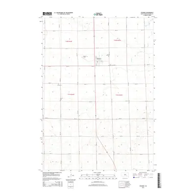
2015 Map of Stickney
USGS Topo · Published 2015About this map
Stickney serves as the central hub of this Aurora County landscape, positioned along the intersection of Main St and N 1st ST. The surrounding prairie is organized by a meticulous grid of rural roads, including 387th Ave and 262nd St, reflecting the region’s agricultural foundations. Notable for local history and genealogy, the area contains several distinct burial grounds such as Saint Mary Cem, Silver Ridge Cem, and both the Saint Paul Cem and Old Saint Paul Cem. To the northwest, Stickney Lake and the meandering Enemy Cr provide the primary hydrologic features in an otherwise elevated plains environment. The presence of Livingston Airport west of the town center highlights the modern infrastructure supporting this rural South Dakota community.
Find a feature on this map
33 named features on this map. Tap any name to fly to it.
Don’t see what you’re looking for? This feature index may not catch every label — zoom into the map to look around manually.
Map Details
Editions of this 2015 Stickney Map
This is the sole edition of this map. No revisions or reprints were ever made.
Other maps of this area

1899 · Mitchell
USGS Topo · 1:125,000

1955 · Mitchell
USGS Topo · 1:250,000

1959 · Mitchell
USGS Topo · 1:250,000

1979 · New Holland
USGS Topo · 1:24,000

1979 · Crystal Lake
USGS Topo · 1:24,000

1979 · Aurora Center
USGS Topo · 1:24,000

1980 · Stickney
USGS Topo · 1:24,000

1980 · Corsica Lake
USGS Topo · 1:24,000

1980 · Old Stickney Lake
USGS Topo · 1:24,000

1980 · Mount Vernon
USGS Topo · 1:24,000