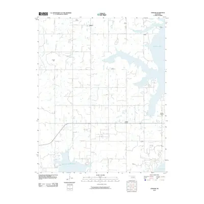
2010 Map of Stidham
USGS Topo · Published 2010About this map
Eufaula Lake dominates the eastern edge of this McIntosh County landscape, its expansive waters reaching inland through numerous arms and inlets. The rural character of the area is defined by a grid of section roads connecting small settlements like Stidham and Fame. For genealogists and local historians, the sheet is particularly valuable for its high density of burial sites, documenting family and community lineage through Remsey Cemetery, Moore Cemetery, Hutton Cemetery, and several others distributed across the countryside. To the south, the Oknoname 131007 Reservoir and Mill Creek sit near Carters Corner, while the Eufaula Municipal Airport provides a modern navigational landmark. The terrain transitions from the lowlands of Coon Creek and Possum Creek toward the elevation of Badger Hill, illustrating the complex drainage patterns feeding into the larger reservoir system.
Find a feature on this map
38 named features on this map. Tap any name to fly to it.
Don’t see what you’re looking for? This feature index may not catch every label — zoom into the map to look around manually.
Map Details
Editions of this 2010 Stidham Map
This is the sole edition of this map. No revisions or reprints were ever made.
Other maps of this area

1900 · Canadian
USGS Topo · 1:125,000

1946 · Fort Smith
USGS Topo · 1:250,000

1962 · Raiford
USGS Topo · 1:24,000

1962 · Pierce
USGS Topo · 1:24,000

1962 · Hoffman
USGS Topo · 1:24,000

1963 · Stidham
USGS Topo · 1:24,000

1963 · Eufaula
USGS Topo · 1:24,000

1963 · Checotah
USGS Topo · 1:24,000

1965 · Fort Smith
USGS Topo · 1:250,000

1967 · Fort Smith
USGS Topo · 1:250,000