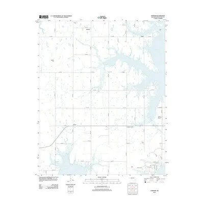
2012 Map of Stidham
USGS Topo · Published 2012About this map
Stidham and the surrounding rural landscape of McIntosh County are defined by the intricate northern reaches of Eufaula Lake. This survey illustrates how the reservoir's rise has reshaped the local geography, creating fingers of water that reach up the valleys of Sharper Cr, Coon Cr, and Possum Cr. Small settlements such as Fame, Vivian, and Carters Corner remain connected by a grid of section-line roads, while the prominent Badger Hill provides a distinct topographic landmark in the west.
Find a feature on this map
49 named features on this map. Tap any name to fly to it.
Don’t see what you’re looking for? This feature index may not catch every label — zoom into the map to look around manually.
Map Details
Editions of this 2012 Stidham Map
This is the sole edition of this map. No revisions or reprints were ever made.
Other maps of this area

1900 · Canadian
USGS Topo · 1:125,000

1946 · Fort Smith
USGS Topo · 1:250,000

1962 · Raiford
USGS Topo · 1:24,000

1962 · Pierce
USGS Topo · 1:24,000

1962 · Hoffman
USGS Topo · 1:24,000

1963 · Stidham
USGS Topo · 1:24,000

1963 · Eufaula
USGS Topo · 1:24,000

1963 · Checotah
USGS Topo · 1:24,000

1965 · Fort Smith
USGS Topo · 1:250,000

1967 · Fort Smith
USGS Topo · 1:250,000