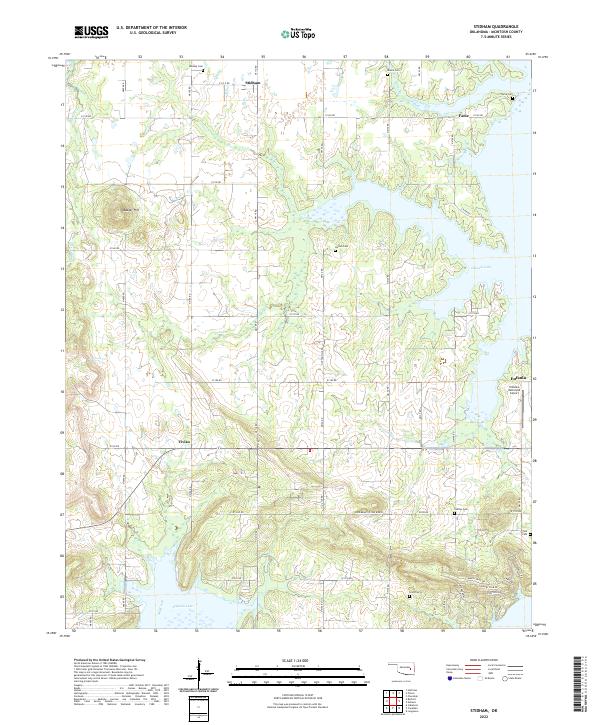
2022 Map of Stidham
USGS Topo · Published 2022About this map
Eufaula Lake dominates the eastern and southern reaches of this landscape, its complex shoreline creating numerous inlets and peninsulas across McIntosh County. The topography is defined by the transition from upland settlements like Stidham and Fame in the north to the low-lying basins carved by Coon Cr and Possum Cr. This modern survey reveals a quiet, rural character marked by numerous family-named burial grounds, including Remsey Cem and Hutton Cem, which serve as vital markers for local genealogical research.
Find a feature on this map
43 named features on this map. Tap any name to fly to it.
Don’t see what you’re looking for? This feature index may not catch every label — zoom into the map to look around manually.
Map Details
Editions of this 2022 Stidham Map
This is the sole edition of this map. No revisions or reprints were ever made.
Other maps of this area

1900 · Canadian
USGS Topo · 1:125,000

1946 · Fort Smith
USGS Topo · 1:250,000

1962 · Raiford
USGS Topo · 1:24,000

1962 · Pierce
USGS Topo · 1:24,000

1962 · Hoffman
USGS Topo · 1:24,000

1963 · Stidham
USGS Topo · 1:24,000

1963 · Eufaula
USGS Topo · 1:24,000

1963 · Checotah
USGS Topo · 1:24,000

1965 · Fort Smith
USGS Topo · 1:250,000

1967 · Fort Smith
USGS Topo · 1:250,000