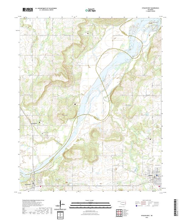
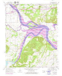
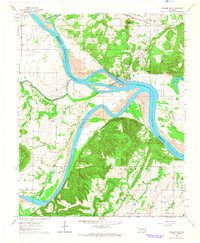
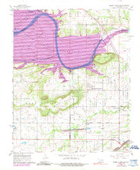
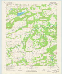
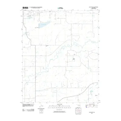
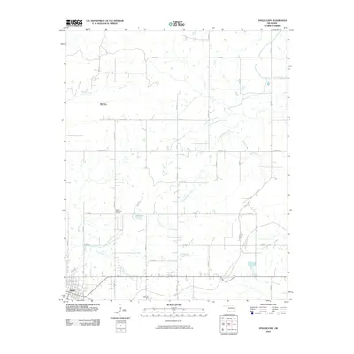
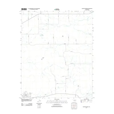
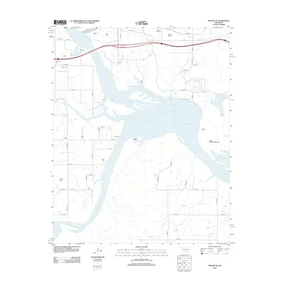
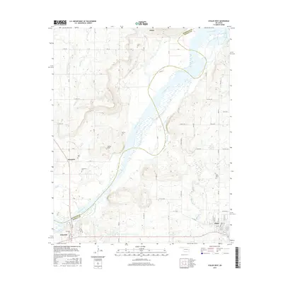
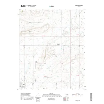
2022 Map of Stigler West
USGS Topo · Published 2022About this map
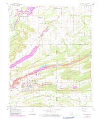
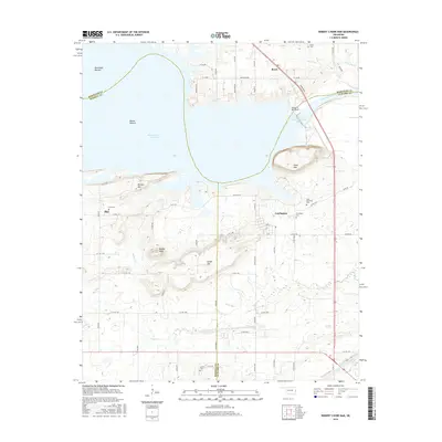
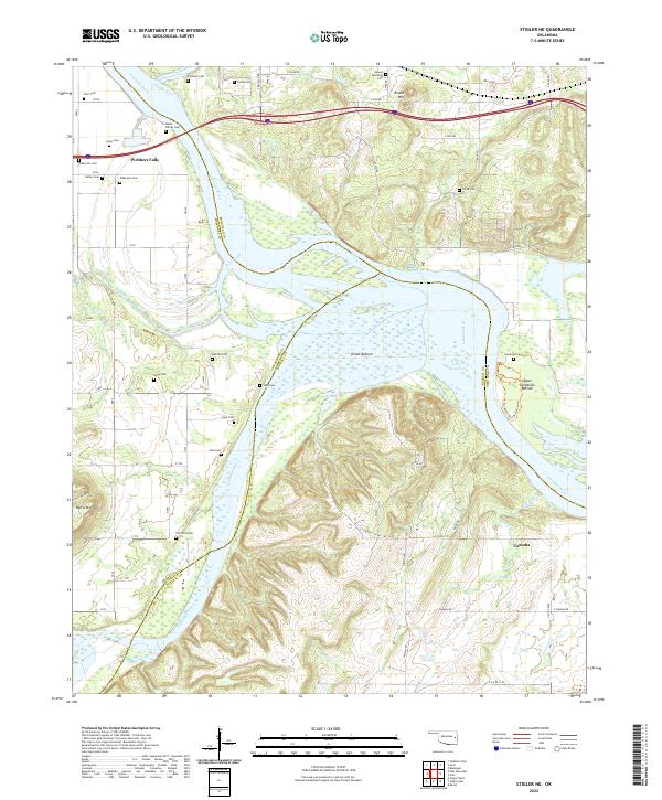
The Canadian River meanders across this landscape, serving as the defining boundary between Haskell and Muskogee counties. To the west, the community of Briartown is surrounded by family-named heritage sites like Starr Family Cem and the Briartown Cem, reflecting the deep-rooted settlement patterns of this river valley region. The terrain shifts from the low-lying wetlands and creeks feeding the river to the prominent elevation of Turkey Knob, which overlooks the central valley.
Find a feature on this map
56 named features on this map. Tap any name to fly to it.
Don’t see what you’re looking for? This feature index may not catch every label — zoom into the map to look around manually.
Map Details
Editions of this 2022 Stigler West Map
This is the sole edition of this map. No revisions or reprints were ever made.
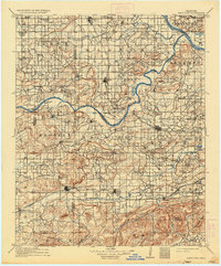
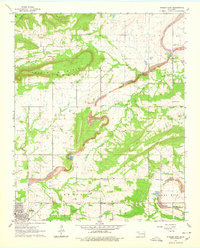
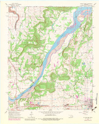
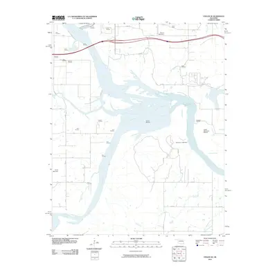
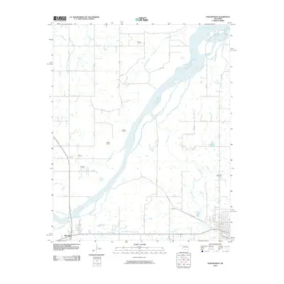
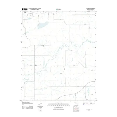
Historical Maps of Stigler Through Time
47 maps found

1909 Sans Bois
Haskell County, OK
1911 Sans Bois
Haskell County, OK
1962 Stigler East
Haskell County, OK
1962 Stigler West
Haskell County, OK
1963 Stigler NE
Haskell County, OK
1964 Stigler NE
Haskell County, OK
1967 Robert S Kerr Dam
Haskell County, OK
1968 Lafayette
Haskell County, OK
1968 Mc Curtain
Haskell County, OK
1969 Quinton North
Haskell County, OK
1969 Sans Bois
Haskell County, OK
1977 Mc Curtain
Haskell County, OK
2010 Lafayette
Haskell County, OK
2010 Quinton North
Haskell County, OK
2010 Robert S Kerr Dam
Haskell County, OK
2010 Sans Bois
Haskell County, OK
2010 Stigler East
Haskell County, OK
2010 Stigler NE
Haskell County, OK
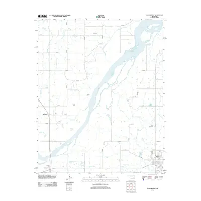
2010 Stigler West
Haskell County, OK
2012 Lafayette
Haskell County, OK
2012 Quinton North
Haskell County, OK
2012 Robert S Kerr Dam
Haskell County, OK
2012 Sans Bois
Haskell County, OK
2012 Stigler East
Haskell County, OK
2012 Stigler NE
Haskell County, OK
2012 Stigler West
Haskell County, OK
2016 Lafayette
Haskell County, OK
2016 Quinton North
Haskell County, OK
2016 Robert S Kerr Dam
Haskell County, OK
2016 Sans Bois
Haskell County, OK
2016 Stigler East
Haskell County, OK
2016 Stigler NE
Haskell County, OK
2016 Stigler West
Haskell County, OK
2018 Quinton North
Haskell County, OK
2018 Robert S Kerr Dam
Haskell County, OK
2018 Sans Bois
Haskell County, OK
2018 Stigler East
Haskell County, OK
2018 Stigler NE
Haskell County, OK
2018 Stigler West
Haskell County, OK
2019 Lafayette
Haskell County, OK
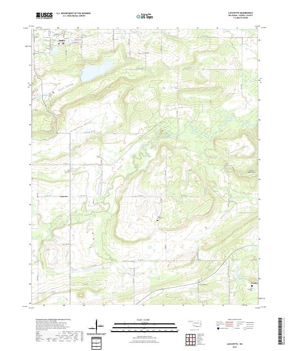
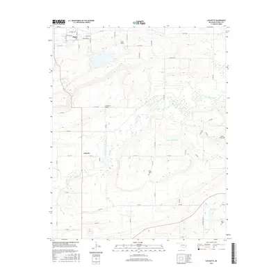
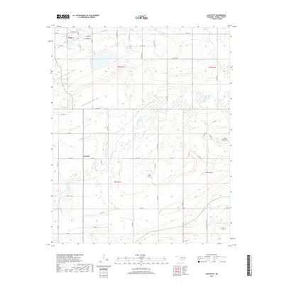
2022 Lafayette
Haskell County, OK
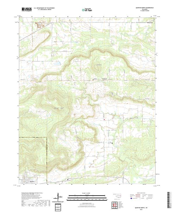
2022 Quinton North
Haskell County, OK

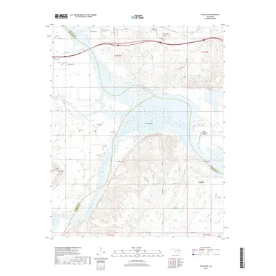
2022 Robert S Kerr Dam
Haskell County, OK
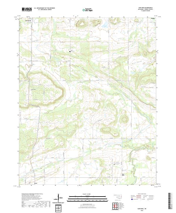
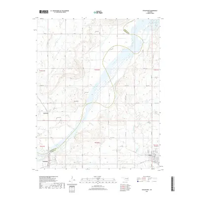
2022 Sans Bois
Haskell County, OK
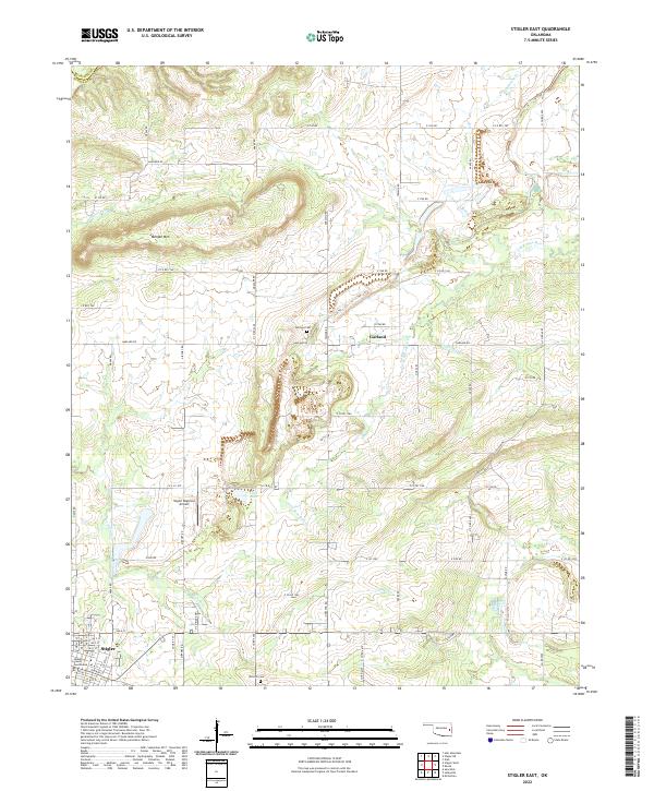
2022 Stigler East
Haskell County, OK
2022 Stigler NE
Haskell County, OK
2022 Stigler West
Haskell County, OK