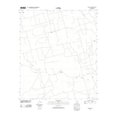
2010 Map of Stiles NW
USGS Topo · Published 2010About this map
Centralia and a network of family-held ranching lands define this pocket of Reagan County in the early 21st century. The landscape is marked by the expansive drainage of High Lonesome Draw, which meanders across the southern half of the quadrangle. Private landholdings are a central theme, with established sites such as Bird Ranch, Aldwell Ranch, and Hartgrove Ranch connected by a grid of named rural routes. These thoroughfares, including Ringo Rd and Southland Royalty Rd, reflect the intersection of traditional agricultural use and industrial access in West Texas. To the east, the Ham Ranch and Boyd Ranch occupy the edges of this high plateau country, where the topography is subtly shaped by the intermittent watercourses and the infrastructure of the Permian Basin's ranching heritage.
Find a feature on this map
15 named features on this map. Tap any name to fly to it.
Don’t see what you’re looking for? This feature index may not catch every label — zoom into the map to look around manually.
Map Details
Editions of this 2010 Stiles NW Map
This is the sole edition of this map. No revisions or reprints were ever made.
Other maps of this area

1928 · Rankin
USGS Topo · 1:125,000

1954 · San Angelo
USGS Topo · 1:250,000

1958 · San Angelo
USGS Topo · 1:250,000

1965 · San Angelo
USGS Topo · 1:250,000

1968 · Midkiff SE
USGS Topo · 1:24,000

1970 · Sevenmile Corner NE
USGS Topo · 1:24,000

1970 · Stiles NW
USGS Topo · 1:24,000

1970 · Sevenmile Corner SE
USGS Topo · 1:24,000

1970 · Garrison Draw
USGS Topo · 1:24,000

1970 · Gardener Draw
USGS Topo · 1:24,000