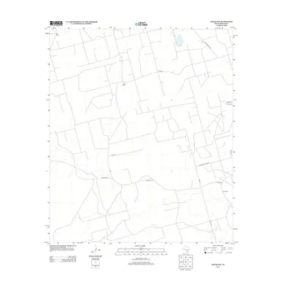
2012 Map of Stiles NW
USGS Topo · Published 2012About this map
Hartgrove Ranch and Aldwell Ranch anchor this landscape in Reagan County, illustrating the expansive ranching operations that characterize the Texas Permian Basin. The map depicts a territory defined by large landholdings and an intricate network of rural roads that facilitate movement across the open plains. Notable family and operation names such as Bird Ranch, Ham Ranch, and Boyd Ranch appear throughout the quadrangle, connected by specialized thoroughfares like the Schwertner Blacktop. This 2012 survey captures the modern spatial organization of the region, where historical property lines and access roads like Hartgrove Rd and Ringo Rd reflect the intersection of traditional cattle ranching and modern resource management, including the presence of the Southland Royalty tract.
Find a feature on this map
15 named features on this map. Tap any name to fly to it.
Don’t see what you’re looking for? This feature index may not catch every label — zoom into the map to look around manually.
Map Details
Editions of this 2012 Stiles NW Map
This is the sole edition of this map. No revisions or reprints were ever made.
Other maps of this area

1928 · Rankin
USGS Topo · 1:125,000

1954 · San Angelo
USGS Topo · 1:250,000

1958 · San Angelo
USGS Topo · 1:250,000

1965 · San Angelo
USGS Topo · 1:250,000

1968 · Midkiff SE
USGS Topo · 1:24,000

1970 · Sevenmile Corner NE
USGS Topo · 1:24,000

1970 · Stiles NW
USGS Topo · 1:24,000

1970 · Sevenmile Corner SE
USGS Topo · 1:24,000

1970 · Garrison Draw
USGS Topo · 1:24,000

1970 · Gardener Draw
USGS Topo · 1:24,000