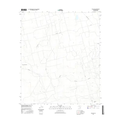
2016 Map of Stiles NW
USGS Topo · Published 2016About this map
High Lonesome Draw and Centralia Draw define the drainage patterns of this West Texas landscape, where seasonal watercourses have carved paths across the Permian Basin. This mid-2010s survey reveals a territory primarily organized around ranching and energy interests, evident in the network of private and county roads that crisscross the terrain. Family and industry names are preserved in the thoroughfares, including Aldwell Rich Rd, Ham Ranch Rd, and the Southland Royalty Rd. The road network, such as Hartgrove Rd and Ringo Rd, suggests a landscape partitioned into large holdings, typical of the region's expansive ranching heritage. These features provide a clear record of land use and property access in Reagan County during a period of modern industrial and agricultural activity.
Find a feature on this map
13 named features on this map. Tap any name to fly to it.
Don’t see what you’re looking for? This feature index may not catch every label — zoom into the map to look around manually.
Map Details
Editions of this 2016 Stiles NW Map
This is the sole edition of this map. No revisions or reprints were ever made.
Other maps of this area

1928 · Rankin
USGS Topo · 1:125,000

1954 · San Angelo
USGS Topo · 1:250,000

1958 · San Angelo
USGS Topo · 1:250,000

1965 · San Angelo
USGS Topo · 1:250,000

1968 · Midkiff SE
USGS Topo · 1:24,000

1970 · Sevenmile Corner NE
USGS Topo · 1:24,000

1970 · Stiles NW
USGS Topo · 1:24,000

1970 · Sevenmile Corner SE
USGS Topo · 1:24,000

1970 · Garrison Draw
USGS Topo · 1:24,000

1970 · Gardener Draw
USGS Topo · 1:24,000