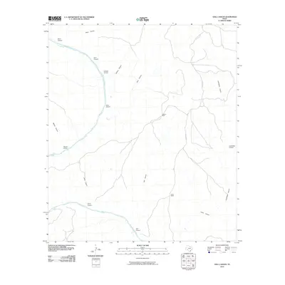
2010 Map of Still Canyon
USGS Topo · Published 2010About this map
The Pecos River carves a winding path through this corner of Val Verde County, defining a landscape dominated by dramatic relief and deep drainages. In this arid reach, the land is characterized by named canyons that feed into the river valley, including Still Canyon, Wildcat Canyon, and the sprawling Cold Water Canyon. Ranching interests are represented by the presence of Ingram Ranch and Hinds Ranch, which stand as focal points of activity in a region where surface water is scarce. Sparse transportation infrastructure like Blue Hills Rd provides limited access through the upland areas above the river. The concentration of features along the river, from Ford Canyon in the north to Lewis Canyon in the south, illustrates the vital role of the waterway in shaping the geography and utility of this remote Texas territory.
Find a feature on this map
13 named features on this map. Tap any name to fly to it.
Don’t see what you’re looking for? This feature index may not catch every label — zoom into the map to look around manually.
Map Details
Editions of this 2010 Still Canyon Map
This is the sole edition of this map. No revisions or reprints were ever made.
Other maps of this area

1943 · Langtry
USGS Topo · 1:62,500

1943 · Shumla
USGS Topo · 1:62,500

1954 · Sonora
USGS Topo · 1:250,000

1958 · Sonora
USGS Topo · 1:250,000

1958 · Del Rio
USGS Topo · 1:250,000

1964 · Del Rio
USGS Topo · 1:250,000

1970 · Everett Canyon
USGS Topo · 1:24,000

1970 · Little Fielder Draw
USGS Topo · 1:24,000

1970 · Blue Hills
USGS Topo · 1:24,000

1973 · Langtry
USGS Topo · 1:24,000