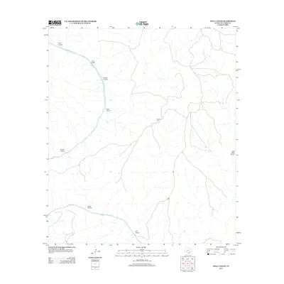
2013 Map of Still Canyon
USGS Topo · Published 2013About this map
The Pecos River cuts a deep, winding course through this section of Val Verde County, defining a landscape dominated by a network of drainage systems. This 2013 survey illustrates the remote character of the West Texas ranching country, where land use is marked by scattered headquarters like the I Ingram Ranch and Hinds Ranch. The terrain is characterized by numerous named side canyons that feed into the primary river corridor, including Still Canyon, Camp Canyon, and Zixto Canyon. The proximity of these features suggests a history of difficult transit and isolated agricultural operations. Tracing the intersections of Wildcat Canyon or Boyd Canyon with the river provides insight into the natural barriers that have shaped movement and settlement patterns in this part of the Trans-Pecos region.
Find a feature on this map
11 named features on this map. Tap any name to fly to it.
Don’t see what you’re looking for? This feature index may not catch every label — zoom into the map to look around manually.
Map Details
Editions of this 2013 Still Canyon Map
This is the sole edition of this map. No revisions or reprints were ever made.
Other maps of this area

1943 · Langtry
USGS Topo · 1:62,500

1943 · Shumla
USGS Topo · 1:62,500

1954 · Sonora
USGS Topo · 1:250,000

1958 · Sonora
USGS Topo · 1:250,000

1958 · Del Rio
USGS Topo · 1:250,000

1964 · Del Rio
USGS Topo · 1:250,000

1970 · Everett Canyon
USGS Topo · 1:24,000

1970 · Little Fielder Draw
USGS Topo · 1:24,000

1970 · Blue Hills
USGS Topo · 1:24,000

1973 · Langtry
USGS Topo · 1:24,000