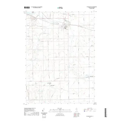
2021 Map of Stillman Valley
USGS Topo · Published 2021About this map
The Stillman's Run Battlefield Memorial and Cem serves as a central landmark for this northern Illinois landscape, marking a site of significant mid-19th-century history within the village of Stillman Valley. The terrain is defined by the drainage patterns of Stillman Creek and Black Walnut Creek as they flow toward the Rock River in the northwest. This modern survey illustrates a well-preserved rural grid system, punctuated by small settlements like White Rock and Paynes Point.
Find a feature on this map
69 named features on this map. Tap any name to fly to it.
Don’t see what you’re looking for? This feature index may not catch every label — zoom into the map to look around manually.
Map Details
Editions of this 2021 Stillman Valley Map
This is the sole edition of this map. No revisions or reprints were ever made.
Other maps of this area

1917 · Kings
USGS Topo · 1:62,500

1918 · Dixon
USGS Topo · 1:62,500

1918 · Kings
USGS Topo · 1:62,500

1922 · Oregon
USGS Topo · 1:62,500

1924 · Oregon
USGS Topo · 1:62,500

1949 · Camp Grant
USGS Topo · 1:24,000

1950 · Dixon
USGS Topo · 1:62,500

1952 · Rochelle
USGS Topo · 1:62,500

1954 · Rockford
USGS Topo · 1:250,000

1955 · Rockford
USGS Topo · 1:250,000