Loading...
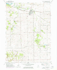
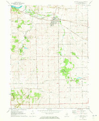
Loading map...1971 Map of Stillman Valley
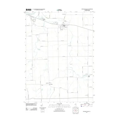
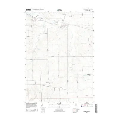
USGS Topo · Published 1977About this map
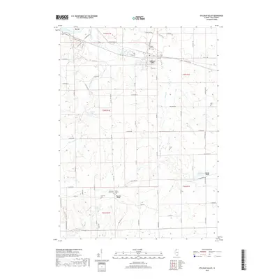
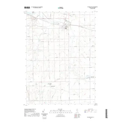
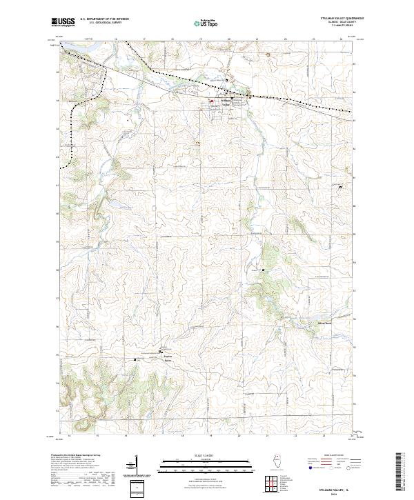
Stillman Valley sits at the junction of two major rail lines, the Chicago Milwaukee St Paul and Pacific and the Chicago and North Western, which dictated the early layout of this Ogle County landscape. The settlement is positioned south of the confluence where Kishwaukee Creek meets the Rock River, a region defined by agricultural drainage and undulating terrain. Evidence of the local extraction economy is visible through numerous Gravel Pits and Quarries scattered near the village and southward toward the rise of Big Mound.
Find a feature on this map
45 named features on this map. Tap any name to fly to it.
Don’t see what you’re looking for? This feature index may not catch every label — zoom into the map to look around manually.
Map Details
Date Portrayed1971
Date Published1977
PublisherU.S. Geological Survey
Map TypeTopographic
Scale1:24,000
Physical Dimensions21.9 x 26.9 inches
Editions of this 1971 Stillman Valley Map
2 editions found
Historical Maps of Byron Through Time
6 maps found
Featured Locations
- Marion Township, IL
- Byron, IL
- Byron Township, IL
- Stillman Valley, Marion Township
- White Rock, White Rock Township
Source Details
SourceU.S. Geological Survey
CopyrightPublic Domain