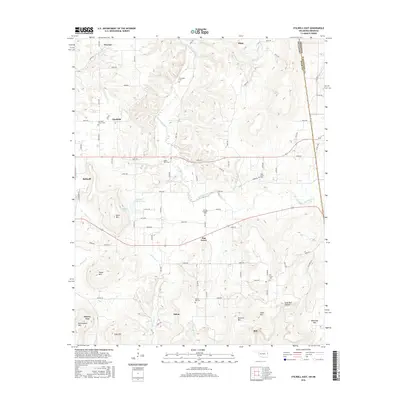
2016 Map of Stilwell East
USGS Topo · Published 2016About this map
Fairfield, Salem, and Elm Grove anchor this eastern portion of Stilwell, where the Ozark foothills meet the Arkansas border. The landscape is defined by the headwaters of Evansville Creek and the meandering Little Lee Cr, which carve through a series of named summits including Davis Mtn, Taylor Mtn, and Doublehead Mtn. This area in Adair County is densely populated with small community cemeteries like Fourkiller Cem and Chalk Bluff Cem, alongside local landmarks like Stillwell Orchard Pond and Fairfield Church. The terrain is characterized by steep ridges and deep hollows, such as Sally Bull Hollow, providing a clear record of the rural settlement patterns and topographic constraints that have shaped this borderland for generations.
Find a feature on this map
87 named features on this map. Tap any name to fly to it.
Don’t see what you’re looking for? This feature index may not catch every label — zoom into the map to look around manually.
Map Details
Editions of this 2016 Stilwell East Map
This is the sole edition of this map. No revisions or reprints were ever made.
Other maps of this area

1898 · Winslow #3
USGS Topo · 1:62,500

1898 · Tahlequah
USGS Topo · 1:125,000

1898 · Winslow
USGS Topo · 1:125,000

1901 · Winslow
USGS Topo · 1:125,000

1901 · Tahlequah
USGS Topo · 1:125,000

1905 · Tahlequah
USGS Topo · 1:125,000

1946 · Fort Smith
USGS Topo · 1:250,000

1965 · Fort Smith
USGS Topo · 1:250,000

1967 · Fort Smith
USGS Topo · 1:250,000

1969 · Natural Dam
USGS Topo · 1:24,000