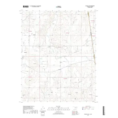
2019 Map of Stilwell East
USGS Topo · Published 2019About this map
Fairfield and Elm Grove sit within a landscape of prominent peaks and winding waterways along the Oklahoma-Arkansas border. The terrain is defined by substantial heights such as Doublehead Mtn and Taylor Mtn, which rise above the drainages of Evansville Creek and Little Lee Cr. This 2019 survey documents a deeply rooted rural landscape where the settlement pattern follows the contours of the land, with small communities like Salem and Bell linked by a network of county roads.
Find a feature on this map
65 named features on this map. Tap any name to fly to it.
Don’t see what you’re looking for? This feature index may not catch every label — zoom into the map to look around manually.
Map Details
Editions of this 2019 Stilwell East Map
This is the sole edition of this map. No revisions or reprints were ever made.
Other maps of this area

1898 · Winslow #3
USGS Topo · 1:62,500

1898 · Tahlequah
USGS Topo · 1:125,000

1898 · Winslow
USGS Topo · 1:125,000

1901 · Winslow
USGS Topo · 1:125,000

1901 · Tahlequah
USGS Topo · 1:125,000

1905 · Tahlequah
USGS Topo · 1:125,000

1946 · Fort Smith
USGS Topo · 1:250,000

1965 · Fort Smith
USGS Topo · 1:250,000

1967 · Fort Smith
USGS Topo · 1:250,000

1969 · Natural Dam
USGS Topo · 1:24,000