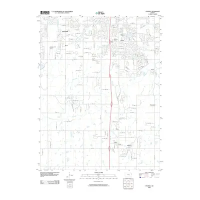
2009 Map of Stilwell
USGS Topo · Published 2009About this map
Stilwell and Aubry anchor the southern portion of this landscape, reflecting the suburban expansion into Johnson County during the early 21st century. The map shows the transition from rural acreage to planned residential developments, particularly around South Edgewater and Stanley. Aviation is a prominent theme here, with the Johnson County Executive Airport in the northwest and the Mission Road Landing Strip to the east, illustrating the region's connection to regional travel and private flight.
Find a feature on this map
127 named features on this map. Tap any name to fly to it.
Don’t see what you’re looking for? This feature index may not catch every label — zoom into the map to look around manually.
Map Details
Editions of this 2009 Stilwell Map
This is the sole edition of this map. No revisions or reprints were ever made.
Other maps of this area

1887 · Olathe
USGS Topo · 1:125,000

1893 · Olathe
USGS Topo · 1:125,000

1934 · Grandview
USGS Topo · 1:24,000

1935 · Olathe
USGS Topo · 1:24,000

1935 · Lenexa
USGS Topo · 1:24,000

1939 · Grandview
USGS Topo · 1:31,680

1943 · Lenexa
USGS Topo · 1:31,680

1943 · Olathe
USGS Topo · 1:31,680

1947 · Lawrence
USGS Topo · 1:250,000

1950 · Lawrence
USGS Topo · 1:250,000