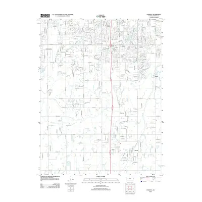
2012 Map of Stilwell
USGS Topo · Published 2012About this map
Stilwell and the surrounding southern Johnson County landscape appear in this 2012 topographic study, showcasing a region transitioning from traditional farmstead heritage to modern suburban expansion. Small historical communities like Aubry and Morse are mapped alongside significant landmarks such as the Crosby Kemper Farm, providing a bridge between the area's agricultural past and its contemporary development. The drainage patterns of the Blue River, Coffee Cr, and Wolf Cr weave through the terrain, while the Aubry Cem and Pleasant Valley Cem offer points of interest for genealogists tracing local lineage.
Find a feature on this map
99 named features on this map. Tap any name to fly to it.
Don’t see what you’re looking for? This feature index may not catch every label — zoom into the map to look around manually.
Map Details
Editions of this 2012 Stilwell Map
This is the sole edition of this map. No revisions or reprints were ever made.
Other maps of this area

1887 · Olathe
USGS Topo · 1:125,000

1893 · Olathe
USGS Topo · 1:125,000

1934 · Grandview
USGS Topo · 1:24,000

1935 · Olathe
USGS Topo · 1:24,000

1935 · Lenexa
USGS Topo · 1:24,000

1939 · Grandview
USGS Topo · 1:31,680

1943 · Lenexa
USGS Topo · 1:31,680

1943 · Olathe
USGS Topo · 1:31,680

1947 · Lawrence
USGS Topo · 1:250,000

1950 · Lawrence
USGS Topo · 1:250,000