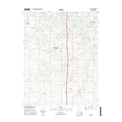
2015 Map of Stilwell
USGS Topo · Published 2015About this map
Stilwell and the surrounding suburban expansion of southern Johnson County are documented in this 2015 study, showcasing the dense residential grid pressing against the area's rural roots. The landscape is defined by the headwaters of the Blue River and several of its tributaries, including Wolf Cr and Coffee Cr. While municipal boundaries for Overland Park, Olathe, and Leawood cover much of the terrain, older community centers like Morse and Aubry remain distinct points of interest. The area's transport and utility infrastructure is prominent, centered on the Johnson County Executive Airport and the north-south transit corridor. Local history is anchored by sites such as Pleasant Valley Cem and Aubry Cem, which sit amidst a network of subdivisions and recreational features like Regency Park Lake and Kingston Lake.
Find a feature on this map
156 named features on this map. Tap any name to fly to it.
Don’t see what you’re looking for? This feature index may not catch every label — zoom into the map to look around manually.
Map Details
Editions of this 2015 Stilwell Map
This is the sole edition of this map. No revisions or reprints were ever made.
Other maps of this area

1887 · Olathe
USGS Topo · 1:125,000

1893 · Olathe
USGS Topo · 1:125,000

1934 · Grandview
USGS Topo · 1:24,000

1935 · Olathe
USGS Topo · 1:24,000

1935 · Lenexa
USGS Topo · 1:24,000

1939 · Grandview
USGS Topo · 1:31,680

1943 · Lenexa
USGS Topo · 1:31,680

1943 · Olathe
USGS Topo · 1:31,680

1947 · Lawrence
USGS Topo · 1:250,000

1950 · Lawrence
USGS Topo · 1:250,000