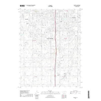
2018 Map of Stilwell
USGS Topo · Published 2018About this map
Stilwell and the surrounding Johnson County settlements appear at a crossroads of suburban expansion and rural heritage in this 2018 survey. The landscape is defined by the headwaters and tributaries of the Blue River, with Wolf Cr, Coffee Cr, and Camp Br carving through the terrain. These waterways are interspersed with residential growth extending south from Overland Park and Leawood. Historic continuity is visible through sites like Aubry Cem and Pleasant Valley Cem, providing a window into the area's older agricultural roots near the communities of Aubry and Morse.
Find a feature on this map
134 named features on this map. Tap any name to fly to it.
Don’t see what you’re looking for? This feature index may not catch every label — zoom into the map to look around manually.
Map Details
Editions of this 2018 Stilwell Map
This is the sole edition of this map. No revisions or reprints were ever made.
Other maps of this area

1887 · Olathe
USGS Topo · 1:125,000

1893 · Olathe
USGS Topo · 1:125,000

1934 · Grandview
USGS Topo · 1:24,000

1935 · Olathe
USGS Topo · 1:24,000

1935 · Lenexa
USGS Topo · 1:24,000

1939 · Grandview
USGS Topo · 1:31,680

1943 · Lenexa
USGS Topo · 1:31,680

1943 · Olathe
USGS Topo · 1:31,680

1947 · Lawrence
USGS Topo · 1:250,000

1950 · Lawrence
USGS Topo · 1:250,000