2022 Map of Stilwell
USGS Topo · Published 2022About this map
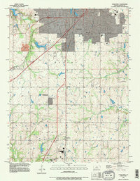
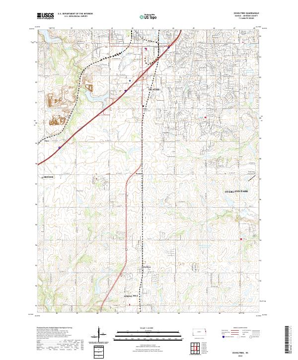
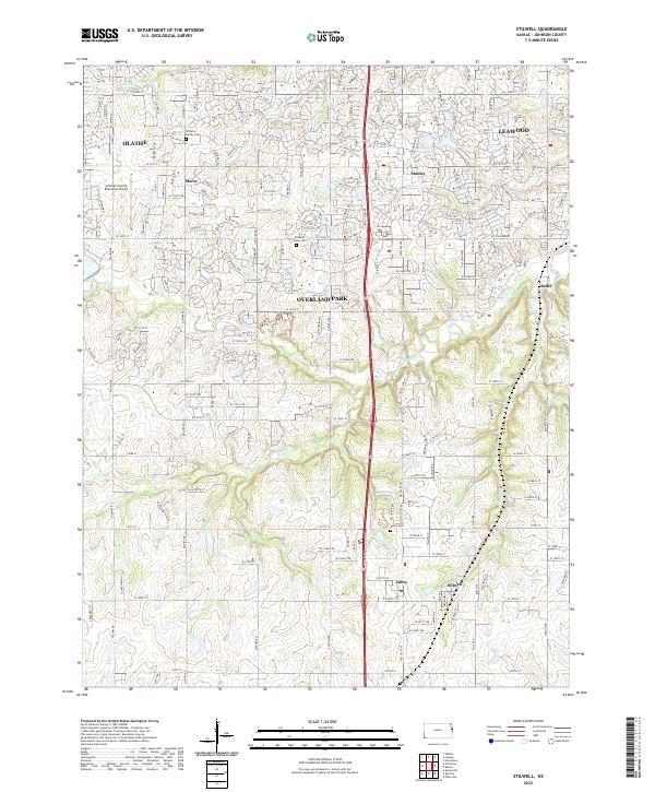
The southern suburbs of Kansas City reveal a transition from suburban density to rural topography in this survey of southern Johnson County. Stilwell and Aubry anchor the southern portion of the map, where the terrain is defined by the winding paths of Wolf Cr and Camp Br. To the north, the rapid growth of Overland Park, Olathe, and Leawood is evident in the dense residential street grids that surround older centers like Stanley and Morse. Genealogists will find several notable burial sites preserved amidst the development, including the Williams Family Cem near Olathe and the Pleasant Valley Cem along W 159th St. The northern reach of the Blue River flows through the eastern section, while the Johnson County Executive Airport serves as a major regional landmark in the northwest.
Find a feature on this map
88 named features on this map. Tap any name to fly to it.
Don’t see what you’re looking for? This feature index may not catch every label — zoom into the map to look around manually.
Map Details
Editions of this 2022 Stilwell Map
This is the sole edition of this map. No revisions or reprints were ever made.
Historical Maps of Johnson County Through Time
6 maps found