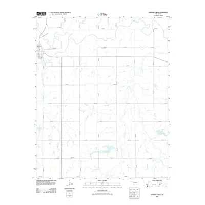
2012 Map of Stinking Creek
USGS Topo · Published 2012About this map
Mountain View sits at the northwestern corner of this territory, where a precise grid of rural roads extends south and east toward the Washita River. This landscape is defined by its water management and memorial sites, including Anquoe Memorial Cem and Samone Cem in the north and Elmwood Cem further south. The drainage patterns of Rainy Mountain Cr, Stinking Cr, and Saddle Mountain Cr are interrupted by a series of modern catchments, such as the Rainy Mountain Cr Site 3 Reservoir and Saddle Mountain Site 11 Reservoir. These features reflect the 21st-century agricultural and environmental engineering of Kiowa County, preserving the names of the surrounding hills while securing the local water supply. For genealogists and local historians, the specific placement of these family and community cemeteries among the section-line roads provides a clear map of the region's cultural footprint.
Find a feature on this map
39 named features on this map. Tap any name to fly to it.
Don’t see what you’re looking for? This feature index may not catch every label — zoom into the map to look around manually.
Map Details
Editions of this 2012 Stinking Creek Map
This is the sole edition of this map. No revisions or reprints were ever made.
Other maps of this area

1949 · Cooperton
USGS Topo · 1:62,500

1950 · Saddle Mountain
USGS Topo · 1:62,500

1955 · Lawton
USGS Topo · 1:250,000

1955 · Clinton
USGS Topo · 1:250,000

1956 · Alden
USGS Topo · 1:24,000

1956 · Bally Mountain
USGS Topo · 1:24,000

1956 · Unap Mountain
USGS Topo · 1:24,000

1956 · Saddle Mountain
USGS Topo · 1:62,500

1956 · Cooperton
USGS Topo · 1:62,500

1957 · Clinton
USGS Topo · 1:250,000