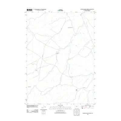
2012 Map of Stinking Water Creek
USGS Topo · Published 2012About this map
Neil Bell Monument stands as a lonely marker in this high-plains landscape of Natrona County, where the drainage networks of the Middle Fork Casper Cr and Stinking Water Cr converge. The area is defined by its wide basins and named draws, such as Snider Basin and Rhobaugh Draw, reflecting a topography carved by intermittent watercourses like Poison Spider Cr and Wallace Cr.
Find a feature on this map
17 named features on this map. Tap any name to fly to it.
Don’t see what you’re looking for? This feature index may not catch every label — zoom into the map to look around manually.
Map Details
Editions of this 2012 Stinking Water Creek Map
This is the sole edition of this map. No revisions or reprints were ever made.
Other maps of this area

1955 · Casper
USGS Topo · 1:250,000

1958 · Casper
USGS Topo · 1:250,000

1959 · Gaylord Reservoir
USGS Topo · 1:24,000

1959 · Eightmile Draw
USGS Topo · 1:24,000

1959 · Broad Mesa
USGS Topo · 1:24,000
1959 · Mc Rae Gap
USGS Topo · 1:24,000

1959 · Horse Creek Springs
USGS Topo · 1:24,000
1959 · Stinking Water Creek
USGS Topo · 1:24,000

1959 · Saddle Rock
USGS Topo · 1:24,000

1959 · Barlow Gap
USGS Topo · 1:24,000