1950 Map of Stirk Table
USGS Topo · Published 1974About this map
Pine Ridge Indian Reservation landforms define this mid-century topographic study, showcasing a landscape of high plateaus and complex drainage systems. Two prominent flat-topped formations, Stirk Table and Cuny Table, dominate the topography, separated by the winding path of Cottonwood Creek. To the south, the White River flows eastward, receiving waters from Cuny Table Creek and other intermittent streams that have carved the deep draws and buttes characteristic of this region. The map reveals the intricate natural erosion patterns within Pine Ridge, specifically around named landmarks like Cedar Butte and the distinctively named V-Tail Draw. Mapped at the start of the 1950s, the document preserves the exact drainage network and elevation contours of these significant Sioux tribal lands before later environmental or development changes.
Find a feature on this map
12 named features on this map. Tap any name to fly to it.
Don’t see what you’re looking for? This feature index may not catch every label — zoom into the map to look around manually.
Map Details
Editions of this 1950 Stirk Table Map
3 editions found

Other maps of this area
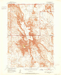
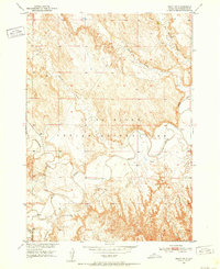
1950 · Sheep Mountain Table
USGS Topo · 1:24,000
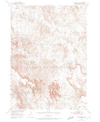
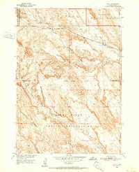
1950 · Stirk Table
USGS Topo · 1:24,000
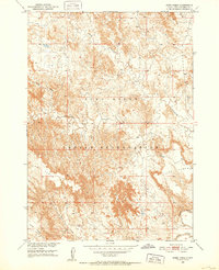
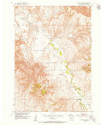
1950 · Cuny Table East
USGS Topo · 1:24,000
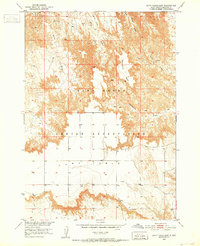
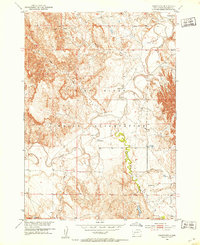
1950 · Imlay SW
USGS Topo · 1:24,000
1950 · Imlay
USGS Topo · 1:24,000
1951 · Sharps Corner
USGS Topo · 1:24,000

1951 · Heutmacher Table
USGS Topo · 1:24,000

1951 · Rockyford NW
USGS Topo · 1:24,000
1951 · Rockyford
USGS Topo · 1:24,000

1955 · Hot Springs
USGS Topo · 1:250,000