
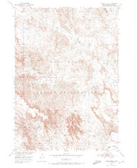
1950 Map of Stirk Table
USGS Topo · Published 1979About this map
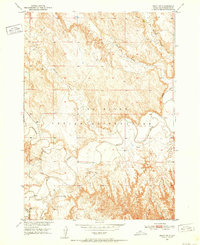
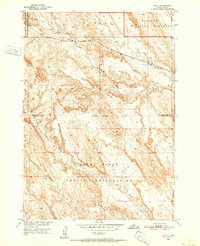
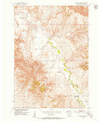
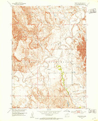
Pine Ridge Indian Reservation land defines this corner of South Dakota, where the drainage of White River meets high, flat-topped plateaus. This 1950 survey, photorevised in the late 1970s, captures the sharp relief of Stirk Table and Cuny Table rising above the surrounding draws. The landscape is carved by the intermittent flows of North Cottonwood Creek and Cottonwood Creek, reflecting the arid and highly eroded character of the terrain. The presence of Cedar Butte serves as a prominent landmark in the southern portion of the quadrangle. Mapping was conducted by the Geological Survey as part of the Department of the Interior's Missouri River Basin development program, documenting the complex topography and sparse water sources within the reservation's boundaries during the mid-20th century.
Find a feature on this map
8 named features on this map. Tap any name to fly to it.
Don’t see what you’re looking for? This feature index may not catch every label — zoom into the map to look around manually.
Map Details
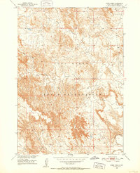
Editions of this 1950 Stirk Table Map
3 editions found
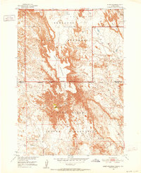
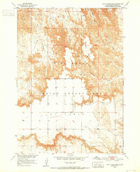
Other maps of this area
1950 · Sheep Mountain Table
USGS Topo · 1:24,000
1950 · Stirk Table
USGS Topo · 1:24,000
1950 · Cuny Table East
USGS Topo · 1:24,000
1950 · Imlay SW
USGS Topo · 1:24,000
1950 · Imlay
USGS Topo · 1:24,000
1951 · Sharps Corner
USGS Topo · 1:24,000

1951 · Heutmacher Table
USGS Topo · 1:24,000

1951 · Rockyford NW
USGS Topo · 1:24,000
1951 · Rockyford
USGS Topo · 1:24,000

1955 · Hot Springs
USGS Topo · 1:250,000