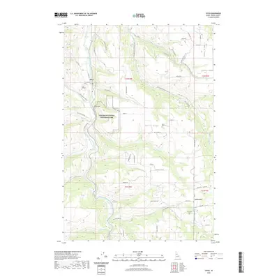
2020 Map of Stites
USGS Topo · Published 2020About this map
The South Fork Clearwater River carves a deep valley through this Idaho landscape, where the settlement of Stites serves as a focal point for the surrounding highlands. This area is characterized by steep ridges and dramatic elevation changes, most notably at Dizzy Head and along the expansive Battle Ridge. The presence of the Nez Perce National Historical Park highlights the profound cultural and historical significance of this terrain.
Find a feature on this map
66 named features on this map. Tap any name to fly to it.
Don’t see what you’re looking for? This feature index may not catch every label — zoom into the map to look around manually.
Map Details
Editions of this 2020 Stites Map
This is the sole edition of this map. No revisions or reprints were ever made.
Other maps of this area

1924 · Kamiah
USGS Topo · 1:125,000

1924 · Weippe
USGS Topo · 1:125,000

1931 · Buffalo Hump
USGS Topo · 1:125,000

1934 · Buffalo Hump
USGS Topo · 1:125,000

1955 · Pullman
USGS Topo · 1:250,000

1955 · Grangeville
USGS Topo · 1:250,000

1956 · Elk City
USGS Topo · 1:250,000

1956 · Hamilton
USGS Topo · 1:250,000

1958 · Pullman
USGS Topo · 1:250,000

1959 · Grangeville
USGS Topo · 1:250,000