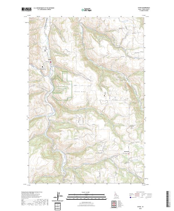
2024 Map of Stites
USGS Topo · Published 2024About this map
The South Fork Clearwater River winds through this Idaho landscape, carving a deep valley that anchors the settlement of Stites. To the south, the community of Clearwater sits near the junction of several drainage systems including Sally Ann Creek and Sill Creek. The map reveals a complex history of land use and remembrance, shown through numerous burial sites like the Stites Indian Church Cem and the Stites International Order of the Oddfellows Cem.
Find a feature on this map
68 named features on this map. Tap any name to fly to it.
Don’t see what you’re looking for? This feature index may not catch every label — zoom into the map to look around manually.
Map Details
Editions of this 2024 Stites Map
This is the sole edition of this map. No revisions or reprints were ever made.
Other maps of this area

1924 · Kamiah
USGS Topo · 1:125,000

1924 · Weippe
USGS Topo · 1:125,000

1931 · Buffalo Hump
USGS Topo · 1:125,000

1934 · Buffalo Hump
USGS Topo · 1:125,000

1955 · Pullman
USGS Topo · 1:250,000

1955 · Grangeville
USGS Topo · 1:250,000

1956 · Elk City
USGS Topo · 1:250,000

1956 · Hamilton
USGS Topo · 1:250,000

1958 · Pullman
USGS Topo · 1:250,000

1959 · Grangeville
USGS Topo · 1:250,000