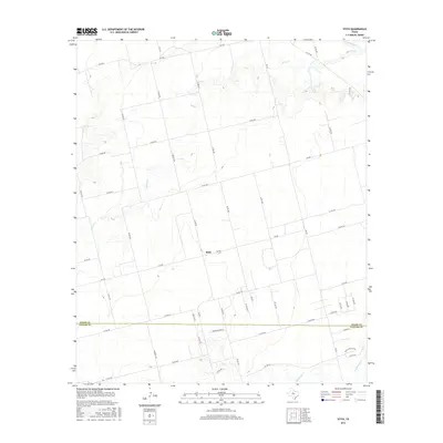
2016 Map of Stith
USGS Topo · Published 2016About this map
Stith serves as the central focal point for this rural landscape where the border between Jones and Taylor Counties is defined by a series of straight-line surveyor boundaries and quiet farm roads. The terrain is deeply etched by the winding course of Bitter Creek, which meanders northward toward the Clear Fork river valley, while Mulberry Creek and Bull Wagon Creek drain the southern reaches. This landscape is a patchwork of large-scale landholdings intersected by an organized grid of county roads and farm-to-market routes like FM 605, FM 707, and the curiously named Western Star Road. The map documents a classic Texas Big Country environment, where the traditional ranching and agricultural road network, including Twin Co Road, remains the primary infrastructure connecting isolated farmsteads and the small settlement of Stith.
Find a feature on this map
51 named features on this map. Tap any name to fly to it.
Don’t see what you’re looking for? This feature index may not catch every label — zoom into the map to look around manually.
Map Details
Editions of this 2016 Stith Map
This is the sole edition of this map. No revisions or reprints were ever made.
Other maps of this area

1890 · Abilene
USGS Topo · 1:125,000

1891 · Anson
USGS Topo · 1:125,000

1892 · Abilene
USGS Topo · 1:125,000

1893 · Roby
USGS Topo · 1:125,000

1893 · Anson
USGS Topo · 1:125,000

1893 · Sweetwater
USGS Topo · 1:125,000

1954 · Big Spring
USGS Topo · 1:250,000

1954 · Abilene
USGS Topo · 1:250,000

1957 · Hawley
USGS Topo · 1:62,500

1957 · Merkel
USGS Topo · 1:62,500