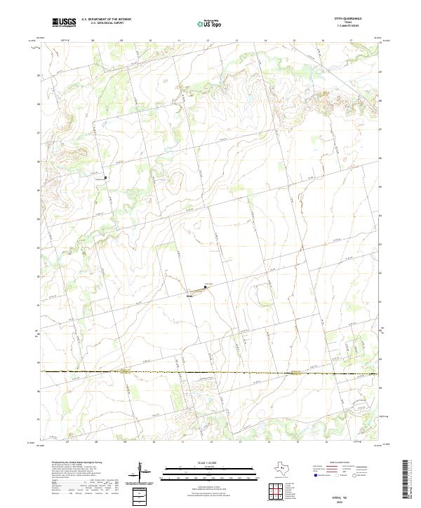
2022 Map of Stith
USGS Topo · Published 2022About this map
The tiny settlement of Stith sits atop a rise in rural West Texas, serving as a landmark in a landscape defined by expansive ranching and farming tracts. This 2022 survey captures the quiet junction of FM 605 and secondary roads where the local community was historically anchored. Genealogists will find the Stith Cem and Compere Cem particularly valuable for tracing early families who settled this region near the border of Jones and Taylor Counties.
Find a feature on this map
52 named features on this map. Tap any name to fly to it.
Don’t see what you’re looking for? This feature index may not catch every label — zoom into the map to look around manually.
Map Details
Editions of this 2022 Stith Map
This is the sole edition of this map. No revisions or reprints were ever made.
Other maps of this area

1890 · Abilene
USGS Topo · 1:125,000

1891 · Anson
USGS Topo · 1:125,000

1892 · Abilene
USGS Topo · 1:125,000

1893 · Roby
USGS Topo · 1:125,000

1893 · Anson
USGS Topo · 1:125,000

1893 · Sweetwater
USGS Topo · 1:125,000

1954 · Big Spring
USGS Topo · 1:250,000

1954 · Abilene
USGS Topo · 1:250,000

1957 · Hawley
USGS Topo · 1:62,500

1957 · Merkel
USGS Topo · 1:62,500