
2012 Map of Stockdale Mountain
USGS Topo · Published 2012About this map
Stockdale Mountain anchors this stretch of Monterey County, overlooking a network of seasonal watercourses and remote ranch roads in the early twenty-first century. The landscape is defined by the drainage patterns of Cholame Cr and its tributaries, including Little Cholame Cr and Nelson Cr. A notable point of human history is preserved at the Imusdale Cem in the eastern portion of the quadrangle, serving as a rare marker of early settlement in this high-relief terrain. The southern reaches are characterized by a dramatic constriction known as The Narrows, where the terrain tightens around the path of Vineyard Canyon Rd. Travel through the area is dictated by the geography of the canyons, with routes like Slack Canyon Rd and Middle Fork Rd tracing the natural contours of the land between Buzzard Canyon and the surrounding peaks.
Find a feature on this map
13 named features on this map. Tap any name to fly to it.
Don’t see what you’re looking for? This feature index may not catch every label — zoom into the map to look around manually.
Map Details
Editions of this 2012 Stockdale Mountain Map
This is the sole edition of this map. No revisions or reprints were ever made.
Other maps of this area

1912 · Coalinga
USGS Topo · 1:125,000

1914 · Cholame
USGS Topo · 1:125,000

1915 · Priest Valley
USGS Topo · 1:125,000

1915 · Cholame
USGS Topo · 1:125,000

1917 · Cholame
USGS Topo · 1:125,000

1919 · San Miguel
USGS Topo · 1:62,500

1941 · Priest Valley
USGS Topo · 1:62,500

1942 · Parkfield
USGS Topo · 1:24,000
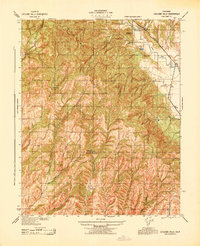
1943 · Cholame Hills
USGS Topo · 1:31,680
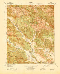
1943 · Parkfield
USGS Topo · 1:31,680