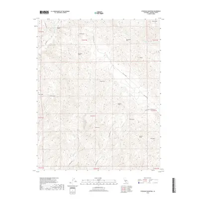
2018 Map of Stockdale Mountain
USGS Topo · Published 2018About this map
The San Andreas Fault cuts a diagonal path through this portion of the Diablo Range, defining the tectonic and topographic character of the region. This high-country landscape in Monterey County is marked by the Cholame Hills and several prominent peaks including Stockdale Mtn and Mid Mtn. The drainage pattern reflects this fractured geography, with Cholame Cr and Little Cholame Cr carving through the terrain. Evidence of early rural settlement is anchored by the Imusdale Cem near Vineyard Canyon, while the network of unpaved corridors like Slacks Canyon Rd and Middle Fork Rd provides access to the isolated canyons. From the tight passage at The Narrows to the broader reaches of Ranchito Canyon, the map illustrates a landscape shaped by both seismic forces and traditional ranching access.
Find a feature on this map
34 named features on this map. Tap any name to fly to it.
Don’t see what you’re looking for? This feature index may not catch every label — zoom into the map to look around manually.
Map Details
Editions of this 2018 Stockdale Mountain Map
This is the sole edition of this map. No revisions or reprints were ever made.
Other maps of this area

1912 · Coalinga
USGS Topo · 1:125,000

1914 · Cholame
USGS Topo · 1:125,000

1915 · Priest Valley
USGS Topo · 1:125,000

1915 · Cholame
USGS Topo · 1:125,000

1917 · Cholame
USGS Topo · 1:125,000

1919 · San Miguel
USGS Topo · 1:62,500

1941 · Priest Valley
USGS Topo · 1:62,500

1942 · Parkfield
USGS Topo · 1:24,000
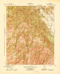
1943 · Cholame Hills
USGS Topo · 1:31,680
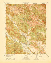
1943 · Parkfield
USGS Topo · 1:31,680