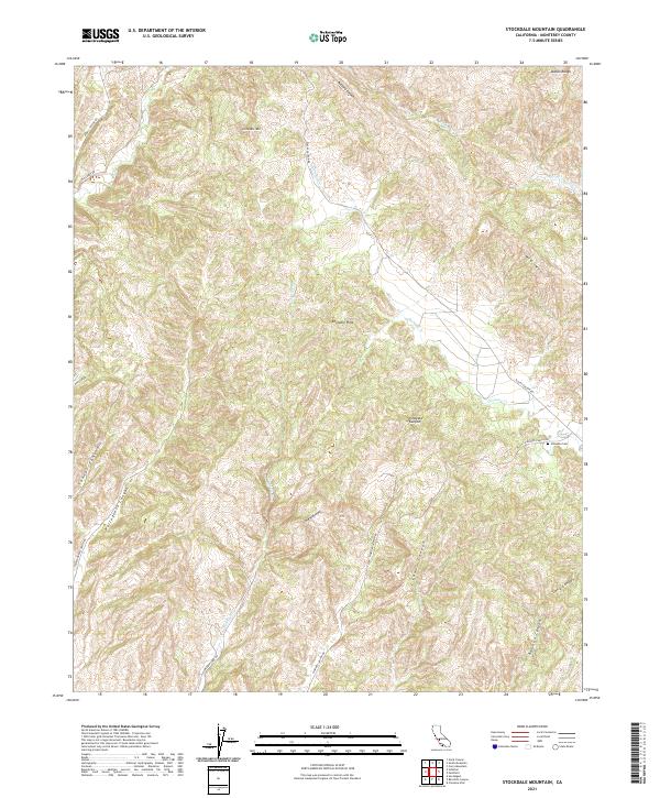
2021 Map of Stockdale Mountain
USGS Topo · Published 2021About this map
Stockdale Mountain and the southern reaches of the Diablo Range define this high-relief landscape in Monterey County. The terrain is deeply incised by a network of drainages, most notably Cholame Creek and its tributaries like Slacks Canyon Creek and Little Cholame Creek. These watercourses have carved out significant topographical markers such as The Narrows and Vineyard Canyon. Human presence is largely defined by the winding road network that follows these natural contours, including Vineyard Canyon Road and Portuguese Canyon Road. For genealogists and local historians, the Imusdale Cemetery sits as a solitary cultural landmark in the eastern portion of the quadrangle near the Cholame Hills. This map documents a region characterized by its ridges and canyons, where the ranching roads and small family landmarks are often the only indicators of settlement in the rugged interior.
Find a feature on this map
34 named features on this map. Tap any name to fly to it.
Don’t see what you’re looking for? This feature index may not catch every label — zoom into the map to look around manually.
Map Details
Editions of this 2021 Stockdale Mountain Map
This is the sole edition of this map. No revisions or reprints were ever made.
Other maps of this area

1912 · Coalinga
USGS Topo · 1:125,000

1914 · Cholame
USGS Topo · 1:125,000

1915 · Priest Valley
USGS Topo · 1:125,000

1915 · Cholame
USGS Topo · 1:125,000

1917 · Cholame
USGS Topo · 1:125,000

1919 · San Miguel
USGS Topo · 1:62,500

1941 · Priest Valley
USGS Topo · 1:62,500

1942 · Parkfield
USGS Topo · 1:24,000
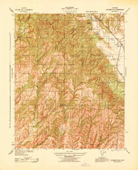
1943 · Cholame Hills
USGS Topo · 1:31,680
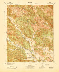
1943 · Parkfield
USGS Topo · 1:31,680