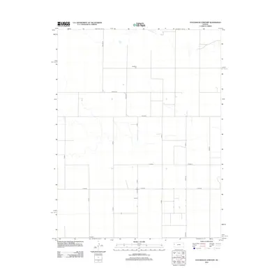
2012 Map of Stockholm Cemetery
USGS Topo · Published 2012About this map
Stockholm Cemetery serves as the central landmark in this high plains landscape of western Kansas, situated within the rectilinear grid of the Tribune Township. The map reflects a rural economy defined by immense agricultural sections, where local travel is facilitated by a rigid network of county routes. Key thoroughfares such as Co Line Rd and 13 Mile Rd establish the boundaries and connections between farming tracts. The landscape is sparsely populated, with the primary human infrastructure consisting of these named roads, including Astor Rd and Co Road F, which lead toward the scattered homesteads and fields characteristic of Greeley County during this period.
Find a feature on this map
16 named features on this map. Tap any name to fly to it.
Don’t see what you’re looking for? This feature index may not catch every label — zoom into the map to look around manually.
Map Details
Editions of this 2012 Stockholm Cemetery Map
This is the sole edition of this map. No revisions or reprints were ever made.
Other maps of this area

1892 · Cheyenne Wells
USGS Topo · 1:125,000

1894 · Cheyenne Wells
USGS Topo · 1:125,000

1954 · Lamar
USGS Topo · 1:250,000

1955 · Scott City
USGS Topo · 1:250,000

1958 · Lamar
USGS Topo · 1:250,000

1958 · Scott City
USGS Topo · 1:250,000

1959 · Weskan
USGS Topo · 1:62,500

1968 · Sharon Springs 3 NE
USGS Topo · 1:24,000

1968 · Sharon Springs 3 NW
USGS Topo · 1:24,000

1969 · Arapahoe SE
USGS Topo · 1:24,000