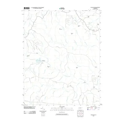
2010 Map of Stockton
USGS Topo · Published 2010About this map
The Wilderness and The Narrows define the deeply dissected plateaus of this corner of Fentress County. The landscape is marked by a heavy concentration of family and community burial grounds, including Royalston Cemetery, Potter Cemetery, and Hick Cemetery, providing vital markers for genealogists tracing upland settlers. Hydrology is central to the area's geography, anchored by the Jamestown Reservoir and the Jamestown Reservoir Dam.
Find a feature on this map
73 named features on this map. Tap any name to fly to it.
Don’t see what you’re looking for? This feature index may not catch every label — zoom into the map to look around manually.
Map Details
Editions of this 2010 Stockton Map
This is the sole edition of this map. No revisions or reprints were ever made.
Other maps of this area

1895 · Wartburg
USGS Topo · 1:125,000

1896 · Wartburg
USGS Topo · 1:125,000

1934 · Barthell
USGS Topo · 1:62,500

1934 · Pall Mall
USGS Topo · 1:62,500

1952 · Honey Creek
USGS Topo · 1:24,000

1952 · Rugby
USGS Topo · 1:24,000

1954 · Stockton
USGS Topo · 1:24,000

1954 · Burrville
USGS Topo · 1:24,000

1954 · Jamestown
USGS Topo · 1:24,000

1954 · Grimsley
USGS Topo · 1:24,000