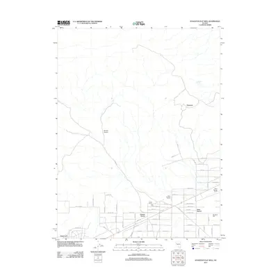
2011 Map of Stockton Flat Well
USGS Topo · Published 2011About this map
Silver Springs and the surrounding high desert terrain in Lyon County are defined by a grid of residential developments and scattered ranching operations. The landscape transitions from the residential streets of Stagecoach in the west toward the aviation facilities at the Silver Springs Airport near the eastern edge. Local history is anchored by settlements like Talapoosa and Ramsey Station, which stand as landmarks of past activity in a region shaped by both its natural hydrology, such as Rock Blind Spring, and its agricultural roots at Everett Ranch and Clark Ranch.
Find a feature on this map
50 named features on this map. Tap any name to fly to it.
Don’t see what you’re looking for? This feature index may not catch every label — zoom into the map to look around manually.
Map Details
Editions of this 2011 Stockton Flat Well Map
This is the sole edition of this map. No revisions or reprints were ever made.
Other maps of this area

1890 · Wadsworth
USGS Topo · 1:125,000

1891 · Wabuska
USGS Topo · 1:125,000

1892 · Wadsworth
USGS Topo · 1:125,000

1894 · Wadsworth
USGS Topo · 1:125,000

1894 · Wabuska
USGS Topo · 1:125,000

1957 · Churchill Butte
USGS Topo · 1:62,500

1957 · Two Tips
USGS Topo · 1:62,500

1957 · Wadsworth
USGS Topo · 1:62,500

1957 · Silver Springs
USGS Topo · 1:62,500

1957 · Reno
USGS Topo · 1:250,000