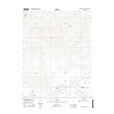
2015 Map of Stockton Flat Well
USGS Topo · Published 2015About this map
The Virginia Range dominates the northern terrain of this Lyon County survey, giving way to the broad expanses of Stagecoach Valley and Churchill Valley. Settlement patterns here reflect the transition from the high desert ridges to the residential grids near Silver Springs and Stagecoach. This region is defined by its mining and ranching history, evidenced by the presence of Talapoosa in the hills and the namesake Stockton Flat Well.
Find a feature on this map
77 named features on this map. Tap any name to fly to it.
Don’t see what you’re looking for? This feature index may not catch every label — zoom into the map to look around manually.
Map Details
Editions of this 2015 Stockton Flat Well Map
This is the sole edition of this map. No revisions or reprints were ever made.
Other maps of this area

1890 · Wadsworth
USGS Topo · 1:125,000

1891 · Wabuska
USGS Topo · 1:125,000

1892 · Wadsworth
USGS Topo · 1:125,000

1894 · Wadsworth
USGS Topo · 1:125,000

1894 · Wabuska
USGS Topo · 1:125,000

1957 · Churchill Butte
USGS Topo · 1:62,500

1957 · Two Tips
USGS Topo · 1:62,500

1957 · Wadsworth
USGS Topo · 1:62,500

1957 · Silver Springs
USGS Topo · 1:62,500

1957 · Reno
USGS Topo · 1:250,000