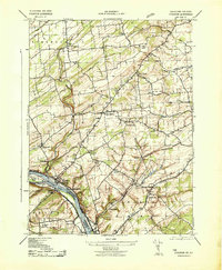
1943 Map of Stockton
USGS Topo · Published 1943About this map
The Delaware River serves as the focal point for this 1940s survey of the New Jersey and Pennsylvania borderlands, where the Delaware Canal and the Raritan Canal Feeder parallel the water. The industrial and transportation corridor is well-defined by the Pennsylvania (Belvidere Div) railroad running through Stockton, while the Pennsylvania (Flemington Branch) cuts eastward across the landscape.
Find a feature on this map
47 named features on this map. Tap any name to fly to it.
Don’t see what you’re looking for? This feature index may not catch every label — zoom into the map to look around manually.
Map Details
Editions of this 1943 Stockton Map
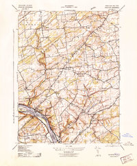
2 editions found
Other maps of this area

1890 · Easton
USGS Topo · 1:62,500

1890 · High Bridge
USGS Topo · 1:62,500

1890 · Lambertville
USGS Topo · 1:62,500

1890 · Doylestown
USGS Topo · 1:62,500

1891 · Easton
USGS Topo · 1:62,500

1891 · Lambertville
USGS Topo · 1:62,500

1891 · Doylestown
USGS Topo · 1:62,500

1894 · Lambertville
USGS Topo · 1:62,500

1898 · High Bridge
USGS Topo · 1:62,500

1900 · Raritan
USGS Topo · 1:125,000
Featured Places
- Raritan Township, NJ
- Solebury Township, PA
- East Amwell Township, NJ
- West Amwell Township, NJ
- Lambertville, NJ